Resilient Food Water Mapping – AI Enhanced Mapping for Sustainable Food and Drinking Water Resilience: Integrated Satellite and Ground Sensor Analytics for European Agriculture
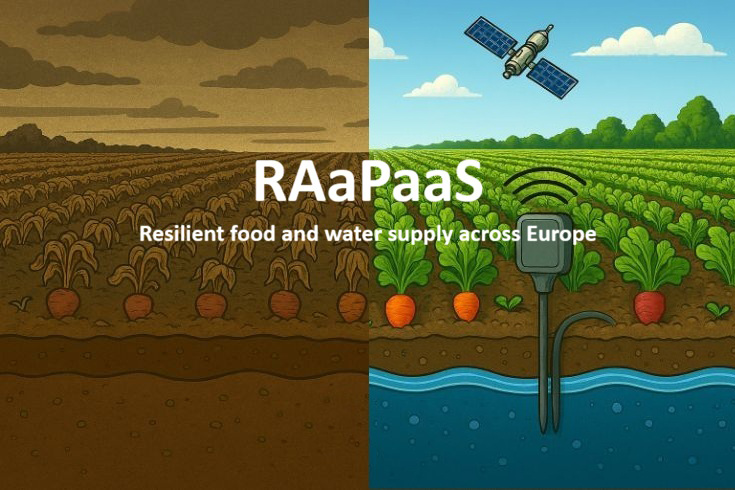
The supply of food and drinking water in Europe is increasingly under threat from climate change, groundwater depletion and rising demand. This project offers a resilient agricultural system that uses Earth observation data and smart ground sensors to enable proactive, resource-efficient decision-making. It provides real-time resource maps and classifies every agricultural parcel according to the optimal food type, water demand and expected yield under current and forecast conditions.
Benefits:
Automated pre-processing, machine learning-based land use classification and GIS-driven optimisation generate the optimal crop mix, efficient irrigation schemes and the shortest supply routes for each region.
AI models classify land use, assess water and CO₂ balances, and produce site-specific recommendations.
An interactive dashboard provides EU policymakers, farmer organisations and logistics providers with actionable advice.
Water use in recommended zones is reduced by 15–30%. Higher yield stability is achieved through climate-adapted crop selection. Transport distances are shorter, CO₂ emissions are lower and supply security is improved.