FlyPix AI – Democratising Earth observation for a sustainable future
Efforts to promote sustainability are hindered by the difficulty of translating Earth Observation (EO) data into actionable insights. Monitoring environmental issues such as illegal waste disposal, deforestation, tree health and land degradation requires specialised AI models, technical expertise and costly manual annotation. This renders EO analytics inaccessible to many municipalities, NGOs and small organisations that urgently require scalable, affordable tools to address local and global sustainability challenges.
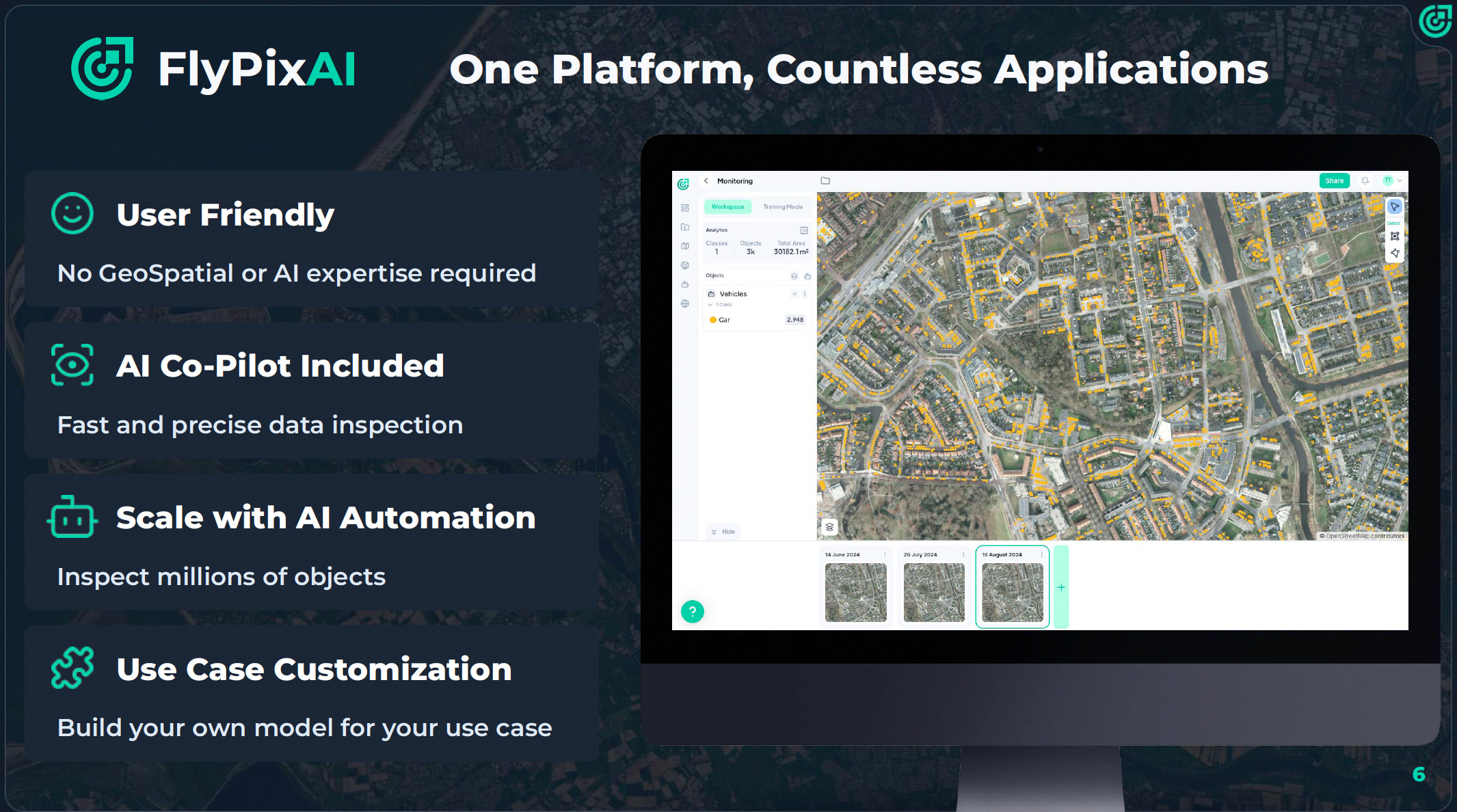
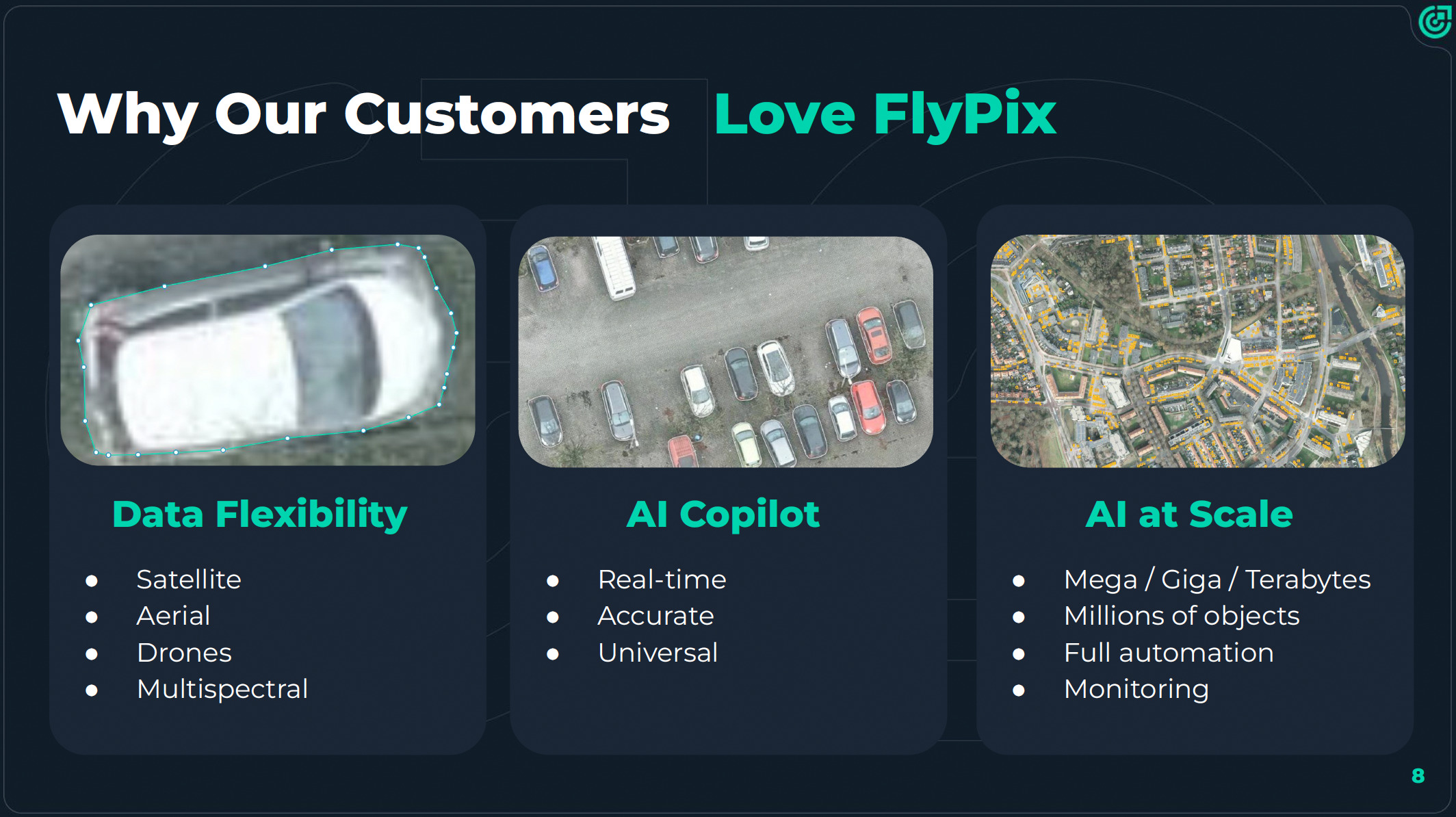
FlyPix AI overcomes the technical and financial barriers that have prevented most organisations from accessing AI-powered sustainability monitoring. The Software as a Service (SaaS) platform integrates seamlessly into diverse workflows and transforms complex satellite and drone data into clear, actionable insights — without any technical expertise required. Whether monitoring cities, forests or infrastructure, FlyPix AI provides businesses, municipalities and organisations of all sizes with access to advanced geospatial analytics at a fraction of the cost, empowering them to make smarter decisions faster.
Benefits:
Major cost and time savings: Users can create AI models with just a few annotations, reducing costs by up to 97% and analysis time by 95%.
No-code usability: The platform enables non-experts to detect rubbish, count trees or track land changes using a simple four-step workflow.
Scalable and versatile: From small areas to citywide zones.
Better decisions: Faster automated dashboards and visual outputs improve transparency and speed up sustainability-related decision-making.
Easy integration with APIs and web dashboards: FlyPix AI can be integrated into existing systems and workflows with minimal setup.