EarthDataInsights – From Orbit to Adaptation Decision: an Urban Physics Engine Turning Satellite Data into Prescriptive Urban Climate Resilience Intelligence
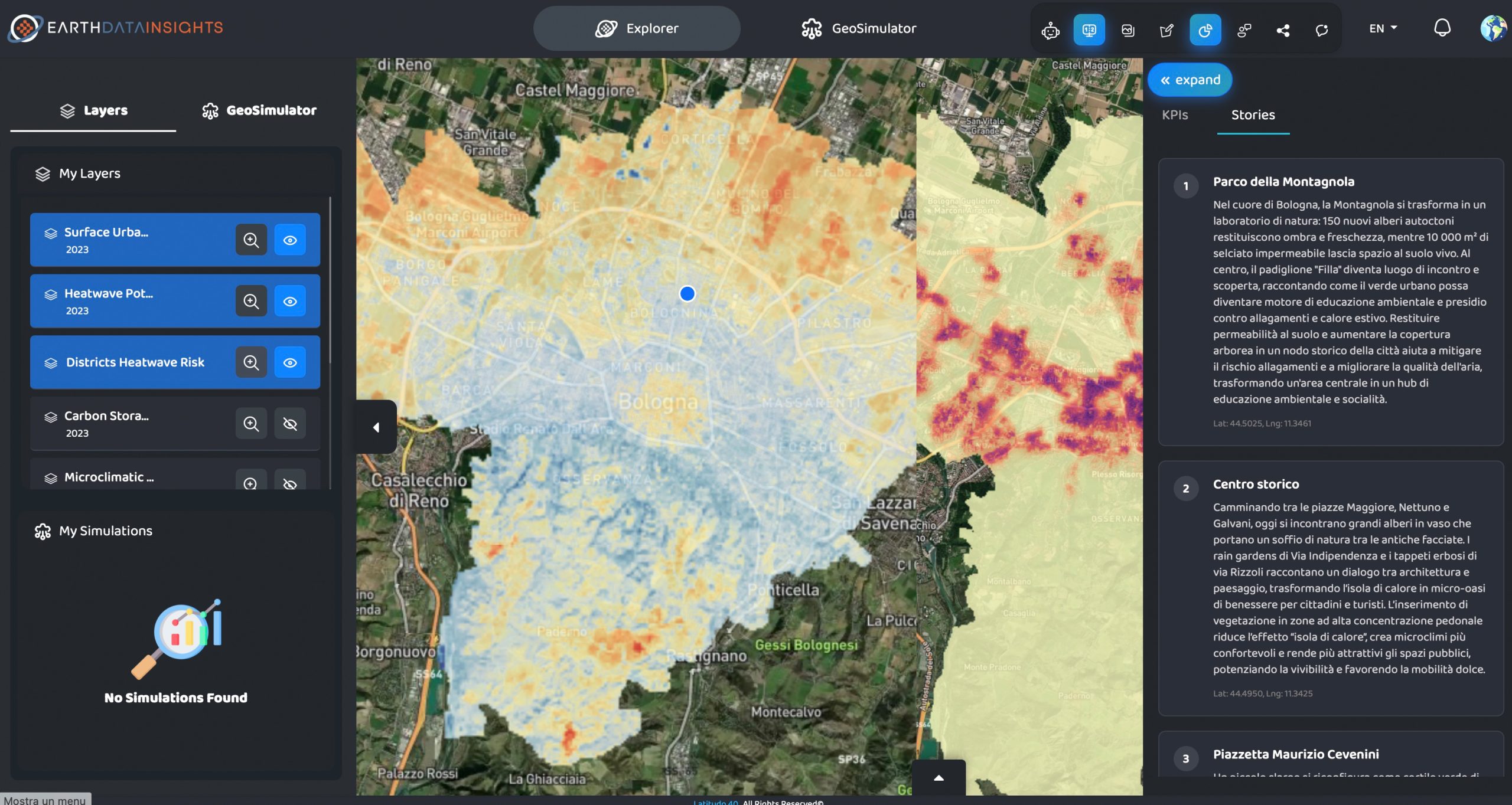
Urban heat kills more Europeans than floods and wildfires combined. Yet urban decision-makers still allocate adaptation budgets based on coarse risk scores and static hazard maps. EarthDataInsights introduces two novel capabilities: a causally-coupled Compound Urban Risk Index (CURI) that physically models interactions between thermal stress, flooding, and air quality, and an AI simulation layer that autonomously synthesises and physically validates optimal mitigation portfolios under budget, land, and equity constraints.
Benefits:
A hyperlocal geospatial software as a service (SaaS) delivering climate and environmental intelligence across Europe and the Middle East.
It is a funded, revenue-generating platform with validated pipelines for thermal stress, land use change, air quality, and flood risk, running on a processing stack.
CURI physically models causal interactions between thermal stress, surface hydrology, and air quality.
CURI operates globally using open Copernicus and ERA5 inputs, deployable in data-scarce emerging economies and growing megacities without local proprietary infrastructure.
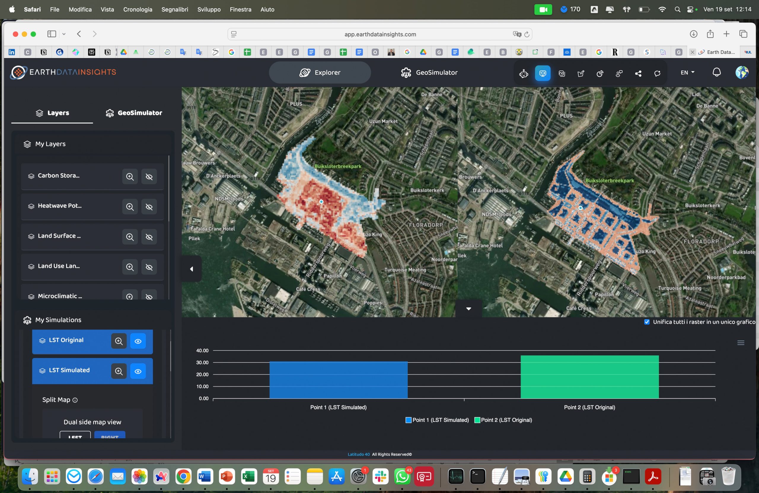
An AI mitigation synthesis layer built on Latitudo Urban Simulator: given a CURI risk map, budget, land, and equity constraints, the system autonomously generates and physically validates ranked intervention portfolios before any capital is committed.
Decision-makers receive a quantified answer: cost per unit of risk reduced and equity impact across population segments.